Krane Ops
Krane Ops
ENTERPRISE
SOLUTIONS
SOLUTIONS
Precision agriculture, survey mapping, and software for operational teams.
Enterprise solutions — LiDAR, mapping, and software
ENTERPRISE GRADEGET A QUOTE
mm-Accurate
Survey Grade
Ag & Survey
Field Programs
Custom Software
In-House Dev
SOC 2 Aware
Compliance
Survey · software · scale
Data rooms, not mood boards
Enterprise pages stay photography-light on purpose — deliverables here are orthomosaics, point clouds, and production code. When you need cinematic proof, that lives under Media Command and Intel.


What We Do
CAPABILITIES
LiDAR Scanning
Centimeter-accurate 3D point clouds for survey, inspection, and BIM modeling. Sub-2cm accuracy in a single pass.
- ±2cm Horizontal Accuracy
- 500+ pts/m² Density
- LAS / LAZ Export
Photogrammetric Mapping
High-resolution orthomosaics, 3D terrain models, and digital surface models from sub-2cm GSD imagery.
- GeoTIFF / OBJ / DXF
- Up to 500 Acres / Mission
- 3D Terrain Models
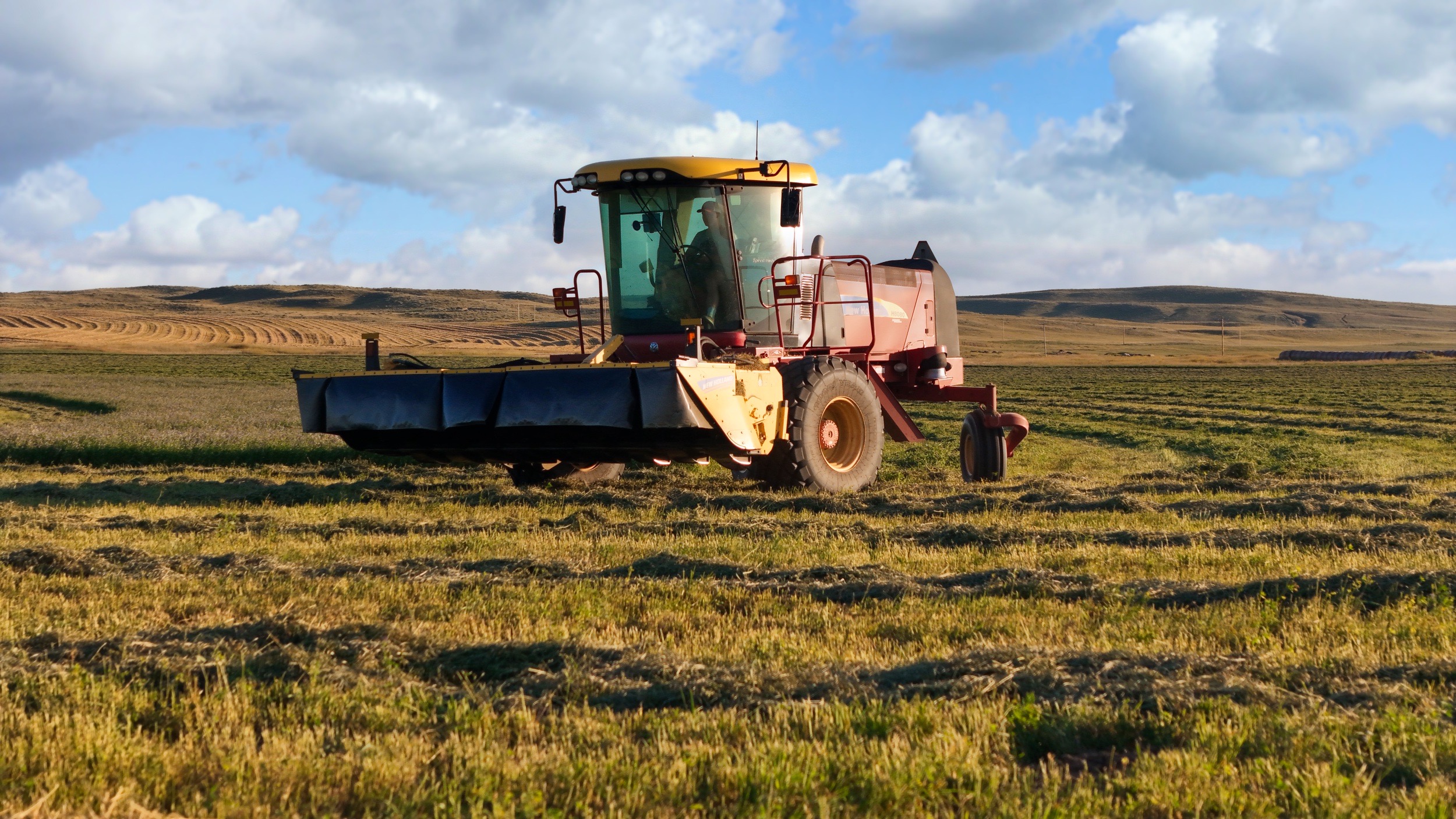
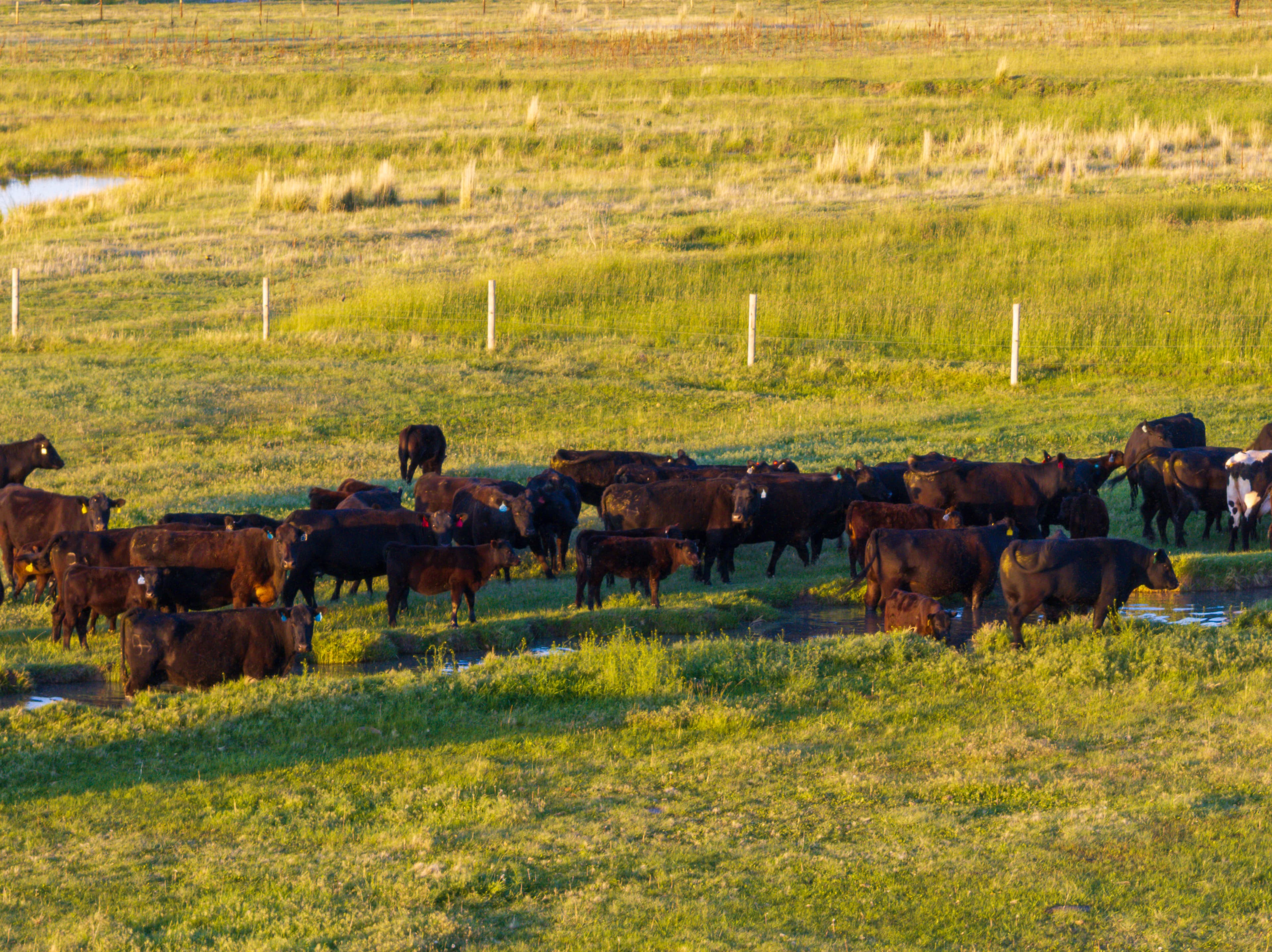
Precision Agriculture
Crop health analysis, NDVI mapping, and variable rate application planning at scale.
- NDVI / NDRE Mapping
- Crop Health Reports
- VRA Planning
Environmental Survey
Wetland delineation, habitat mapping, and compliance documentation for regulatory submissions.
- Wetland Delineation
- Habitat Mapping
- Compliance Docs
Software Development
Custom web apps, mobile apps, APIs, and automation systems built to spec and deployed to scale.
- React / Next.js / Node
- iOS & Android Apps
- REST & GraphQL APIs
Digital Products
Presets, LUTs, automation templates, and training programs. Tools built by operators for operators.
- Lightroom Presets
- DaVinci LUTs
- Automation Templates
Build Division
SOFTWARE DIVISION
We don't just fly — we build. Custom software, mobile apps, and automation systems designed for operators who need more than off-the-shelf tools.
W
Web Application
Full-stack React, Next.js, and Node.js. From MVPs to enterprise portals.
M
Mobile App
iOS and Android native and cross-platform. React Native and Flutter.
A
API & Backend
REST, GraphQL, WebSockets. Cloud-native, scalable, and documented.
AI
Automation & AI
n8n, Make.com, custom agents. Eliminate repetitive ops with intelligent systems.
ENTERPRISE READY
BUILD YOURDATA STACK.
Survey-grade accuracy. Custom software. Deployed at scale. Let's scope the mission.